20 Maps of the Continents Coloring Pages - Free!
Maps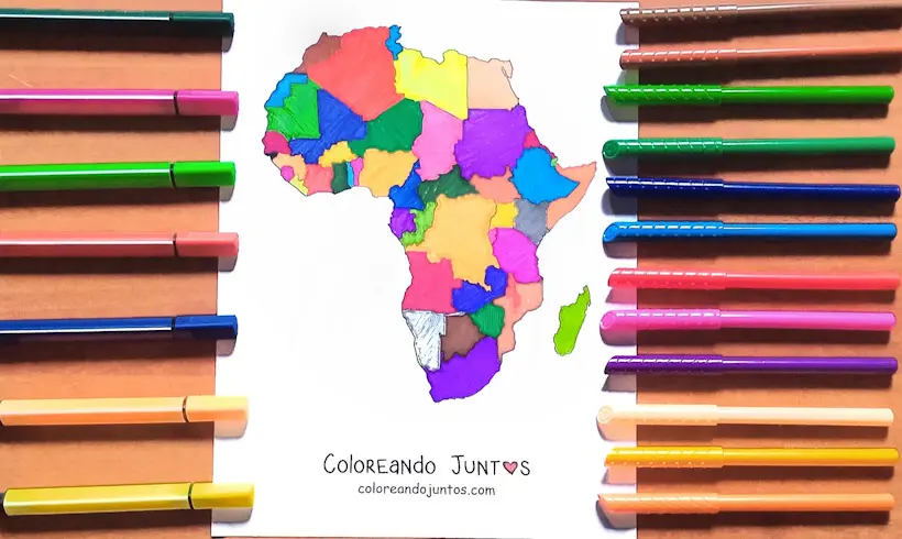
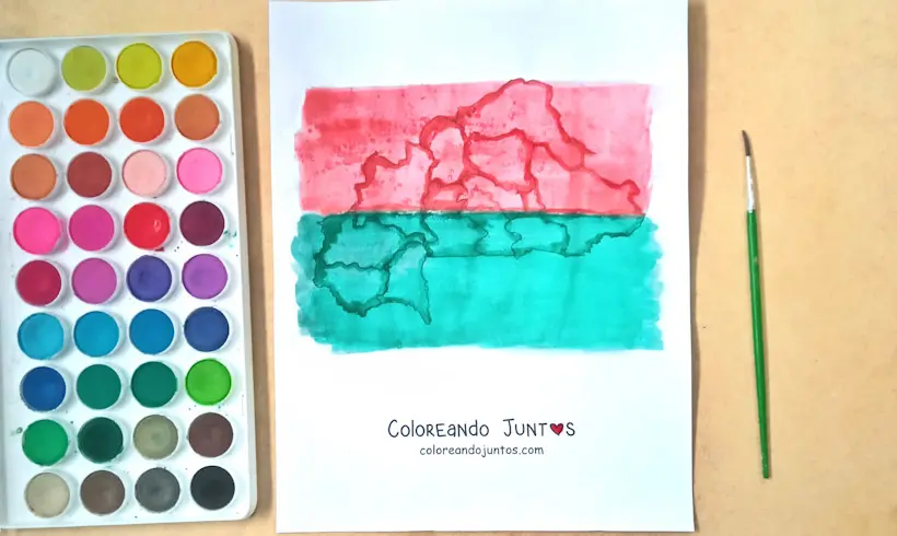
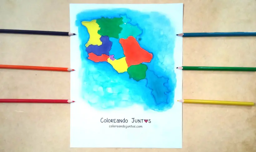
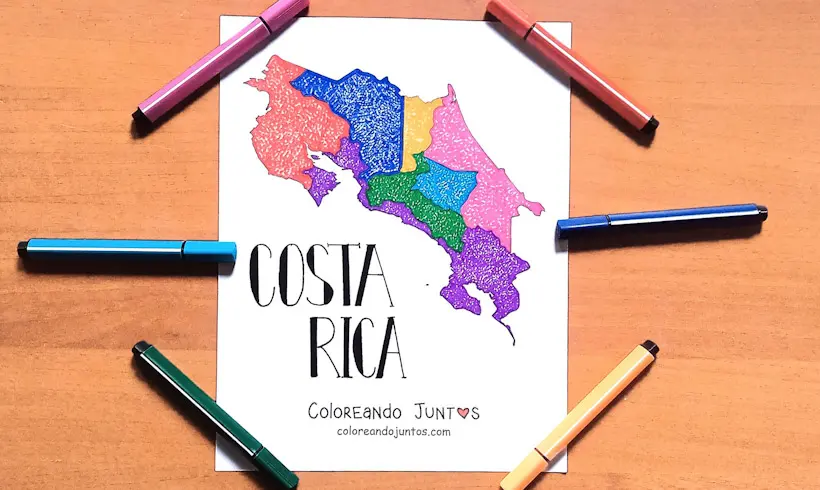
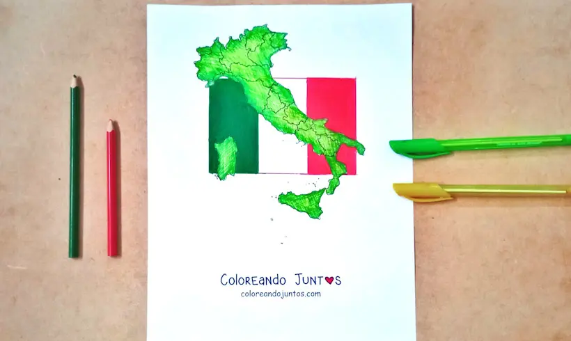
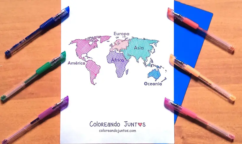
Did you already see the drawing we colored for you? We wanted you to have some inspiration for your next masterpiece. We know that with the right materials your drawing will turn out just as good as or even better than this map of the continents. We cannot wait to see the result!
And since at Coloring Together we love giving you the very best so you can let your artistic side shine, this time we have brought you the best maps of the continents coloring pages, maps of the continents to print, and maps of the continents with names. All made with you in mind!
But for your drawings to come to life you need to choose the right materials. With your favorite glitter pens you can use the hatching technique to add color to your drawing. Remember that you can make shadows to achieve an amazing 3D effect. Everyone will think your artwork is jumping right off the page!
If you would like the whole planet to know about your great artistic gift, send us a photo! In our gallery there is always room for our little followers. You could inspire children from different continents! So do not let this wonderful opportunity slip away.
Go grab the materials you will need to bring the maps of the continents coloring pages to life. We cannot wait to see the results! We are sure that every continent will admire your great talent.
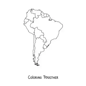
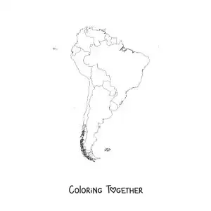
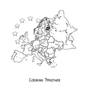
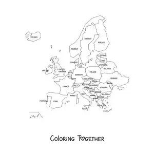
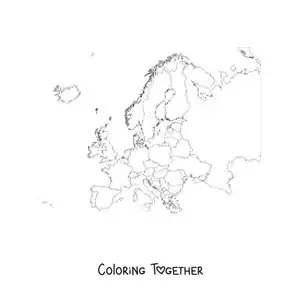
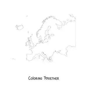
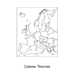
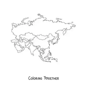
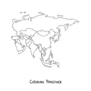
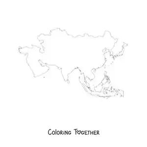
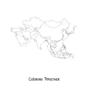
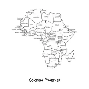
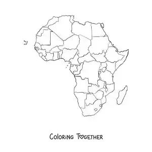
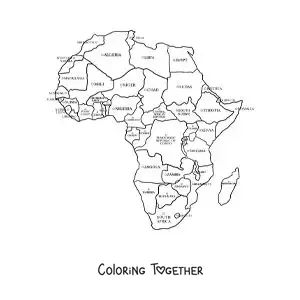
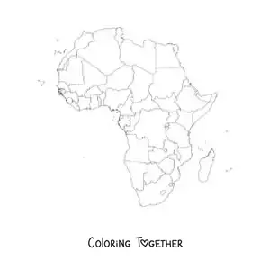
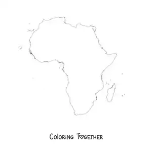
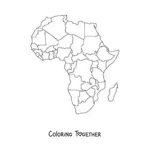
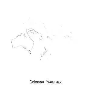
Maps of the Continents coloring pages
Why color maps of the continents pictures?
Continents are large pieces of land that divide the world. Each one has its own special features, and through maps of the continents we can see every country that makes them up in greater detail, so you can plan your travel route.
In South America you can come across the Amazon rainforest, which is full of many exotic and interesting animals. Meanwhile, if you look at the continent of Africa, you can find the largest desert in the world, the Sahara Desert.
Each continent varies greatly, but they all keep secrets that make you want to explore them in detail. To help you with that goal, at Coloring Together we have brought you the best collection of maps of the continents coloring pages, with which you can have fun while you explore each continent.
And as an extra surprise, above each of the maps of the continents coloring pages, you will find a little informative fact that aims to broaden your knowledge about maps. You cannot miss this amazing opportunity! Go grab your colors, little artist. It is time to color!
Learn while coloring Maps of the Continents
- The first map where the name of the American continent appeared is the Waldseemuller map.
- On maps of the continents we can see that Asia is the largest continent in the world.
- The real name of the Waldseemuller map is Universalis cosmographia secunda Ptholemei traditionem et Americi Vespucci aliorum que lustrationes, which translated means: A drawing of the whole Earth following the tradition of Ptolemy and the voyages of Vespucci and others.
- On some of the earliest maps of the American continent it was called Terra Incognita (Unknown Land), although on the "Carta Marina" of 1516 we can see that South America was called Terra Nova (New World)
- Maps can be so fascinating to a person that there are even those who risk their freedom. Such was the case of E. Forbes Smiley III, probably the greatest map thief in history.
- There are studies that show a different performance between women and men with respect to spatial abilities. This is why in 1998 John and Ashley Sims created an inverted map so that women could orient themselves better.
- One of the oldest maps that shows the American continent is the Piri Reis map. This map was made on a gazelle skin.
- The Piri Reis map (1513) is famous for its great detail of the coastlines known in its time, and for a long time it sparked the curiosity of those who studied it because of the shape of its southern coast.
- The Peters projection is a map that shows the features of the Earth's surface according to their real size in space.
- The Greeks made great contributions to cartography, but maps are much older: there are Babylonian and even prehistoric examples, created to record the information of travelers.
- The oldest known map so far is a Babylonian tablet from the 6th century B.C.
- The science in charge of making maps is called cartography.