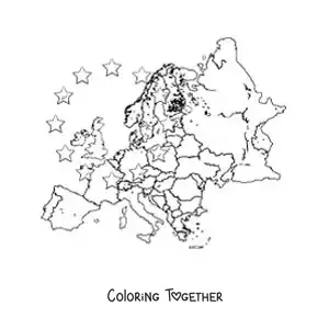
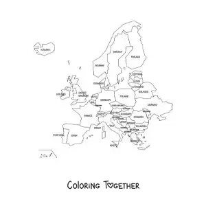
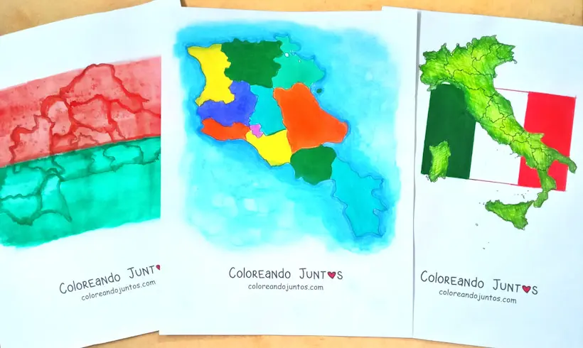
Political map of the European continent
Coloring page of a political map of the European continent
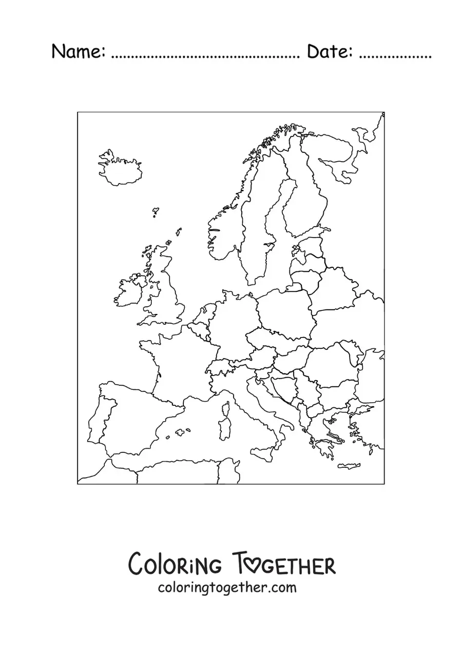
Downloads as an A4 PDF, ready to print and color.
Did you know?
The Peters projection is a map that shows the features of Earth's surface according to their real size in space.
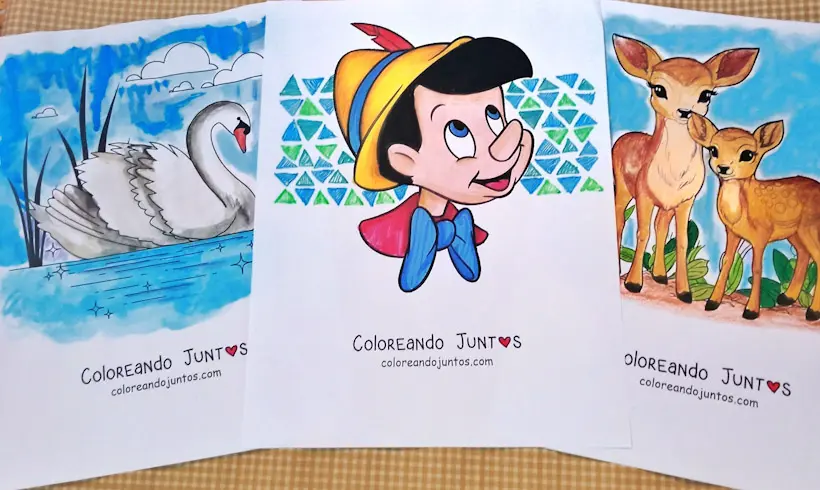
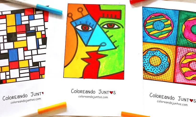
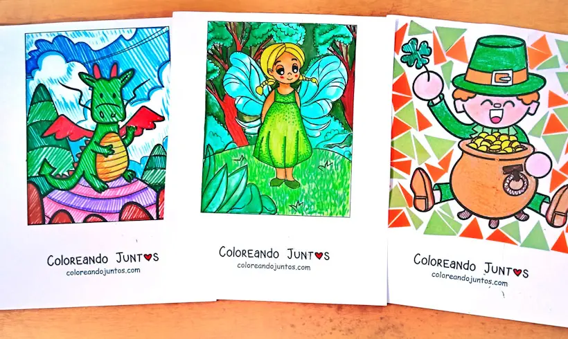
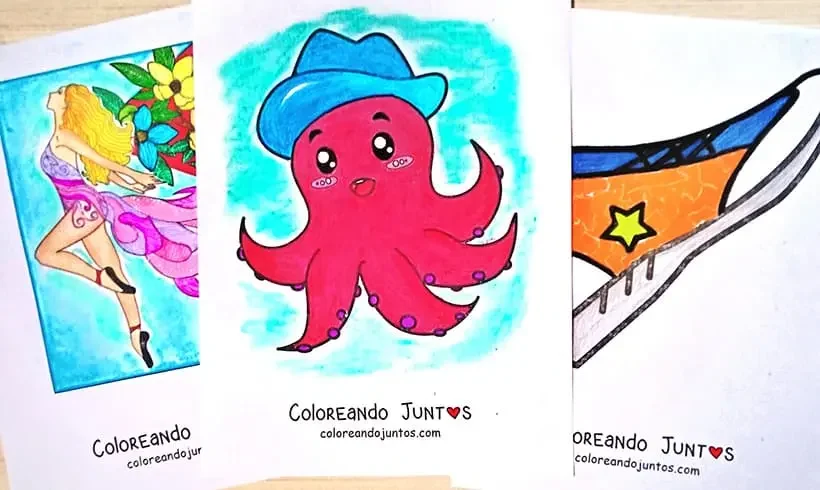
More coloring pages
Coloring Page Collections
-
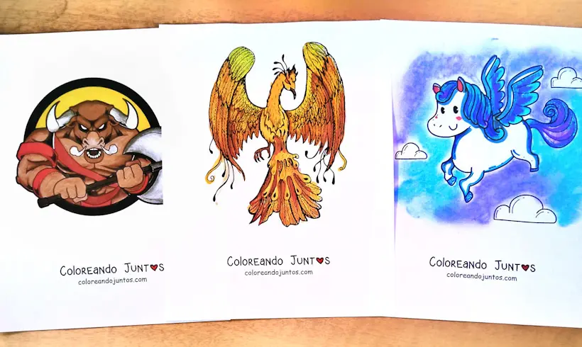
Animal Coloring Pages
-
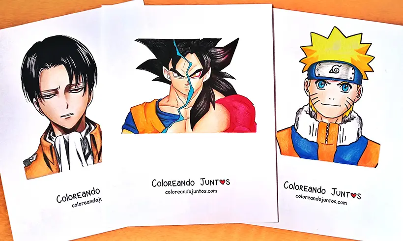
Anime and Manga Coloring Pages
-
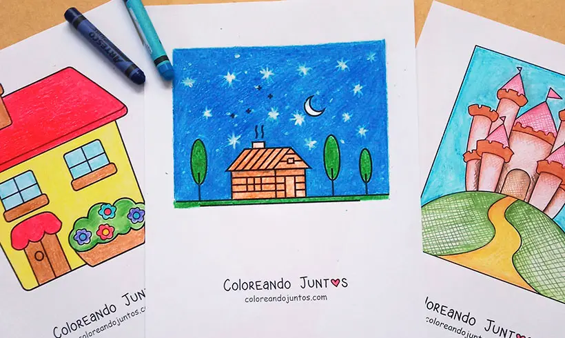
Building Coloring Pages
-
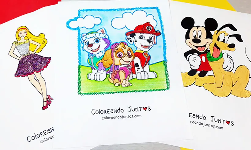
Cartoon Coloring Pages
-
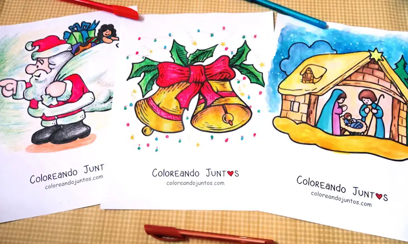
Christmas Coloring Pages
-

Countries and Cultures Coloring Pages
-
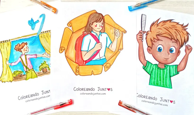
Daily Routines Coloring Pages
-
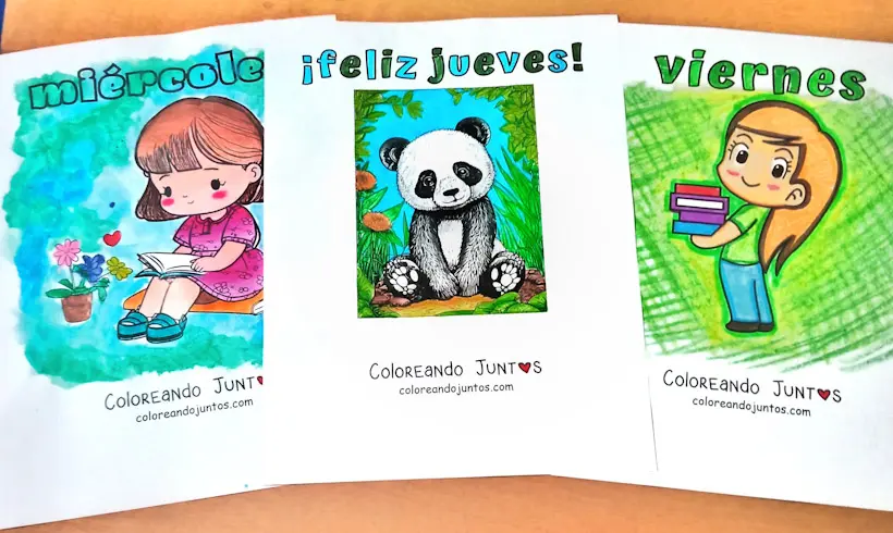
Days of the Week Coloring Pages
-
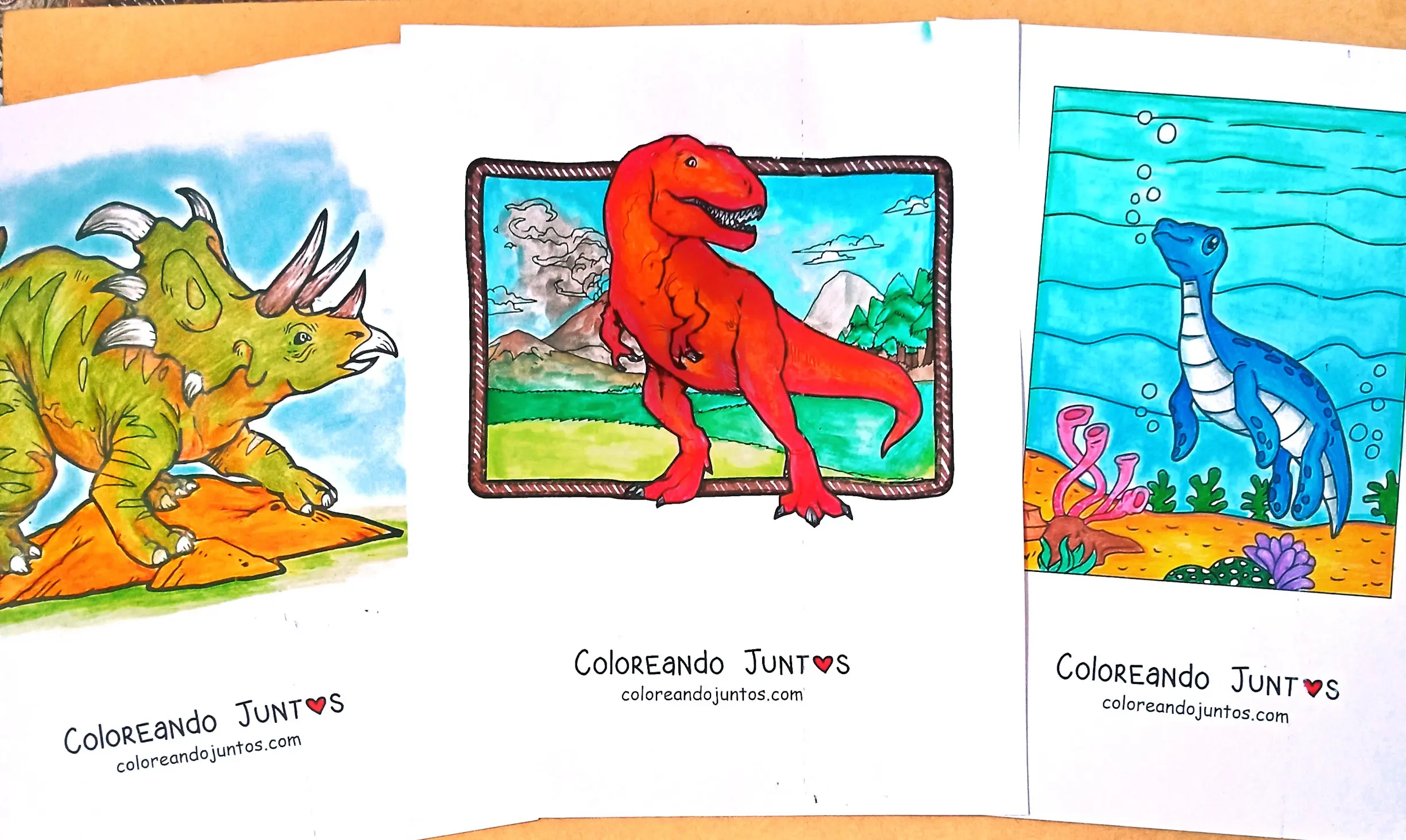
Dinosaurs Coloring Pages
-
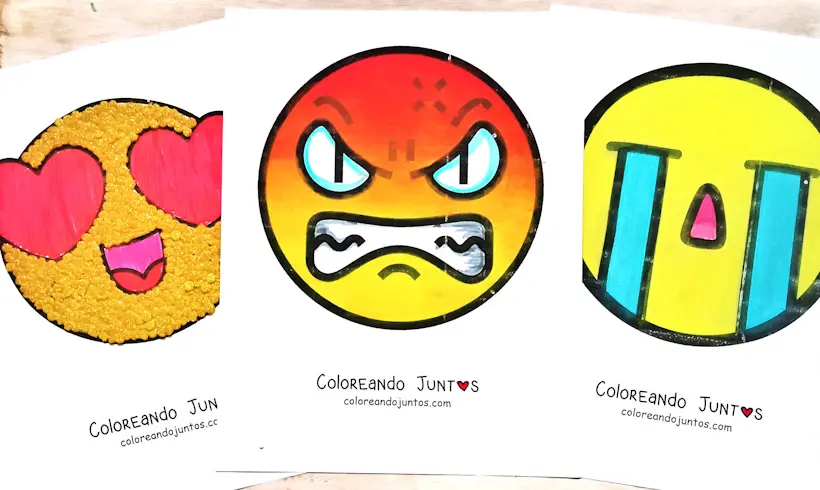
Emoji Coloring Pages
-
Fairy Tale Coloring Pages
-

Famous Musicians and Singers Coloring Pages
-
Famous Painters Coloring Pages
-

Famous Scientists and Inventors Coloring Pages
-
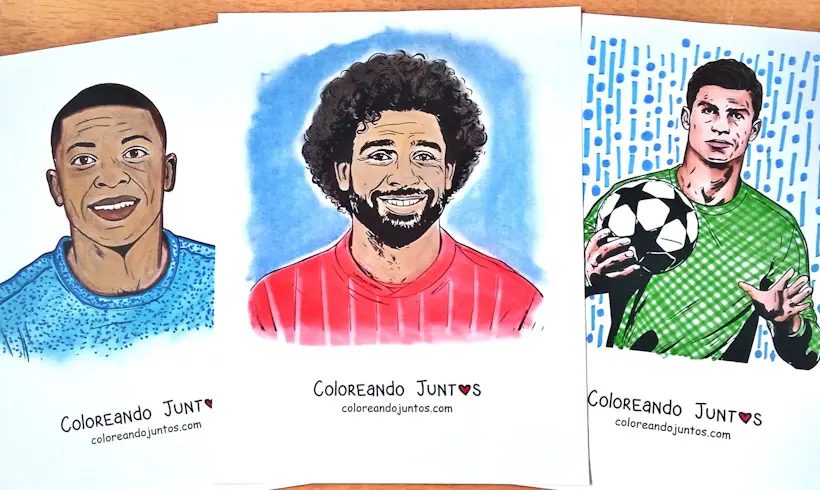
Famous Soccer Players Coloring Pages
-
Fantasy Coloring Pages
-
Fashion Coloring Pages
-
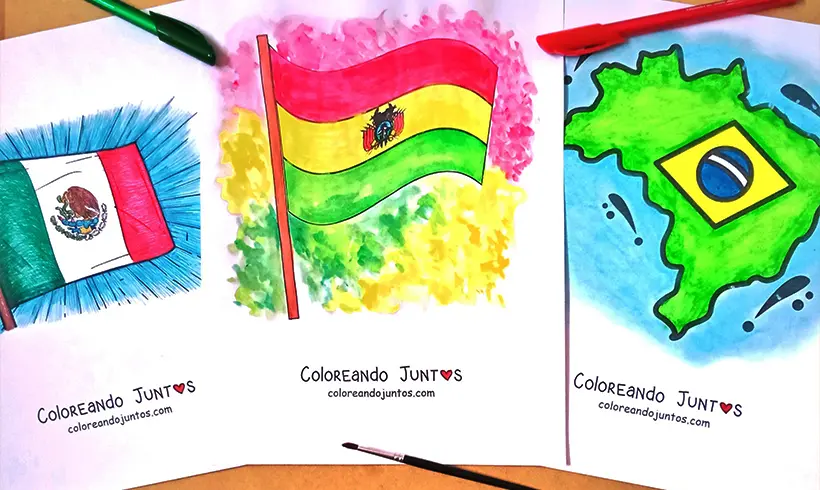
Flag Coloring Pages
-
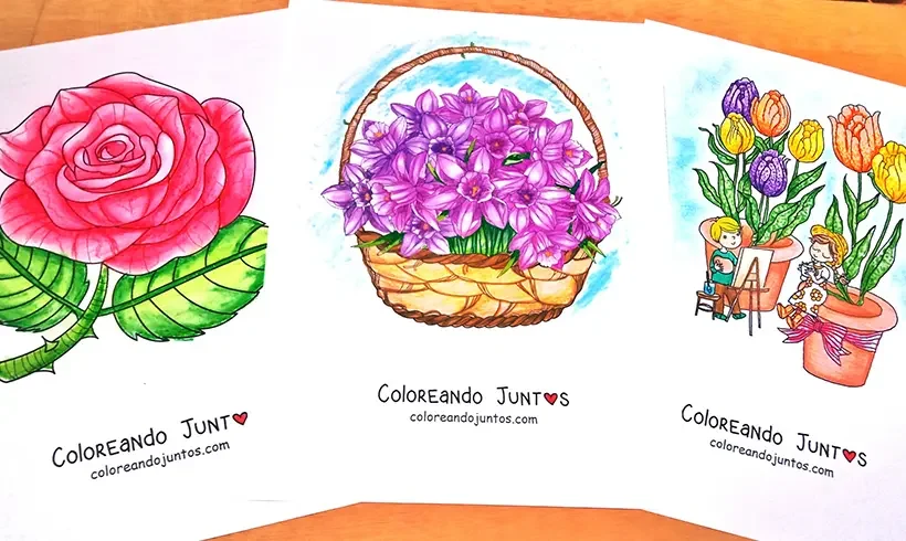
Flower Coloring Pages
-
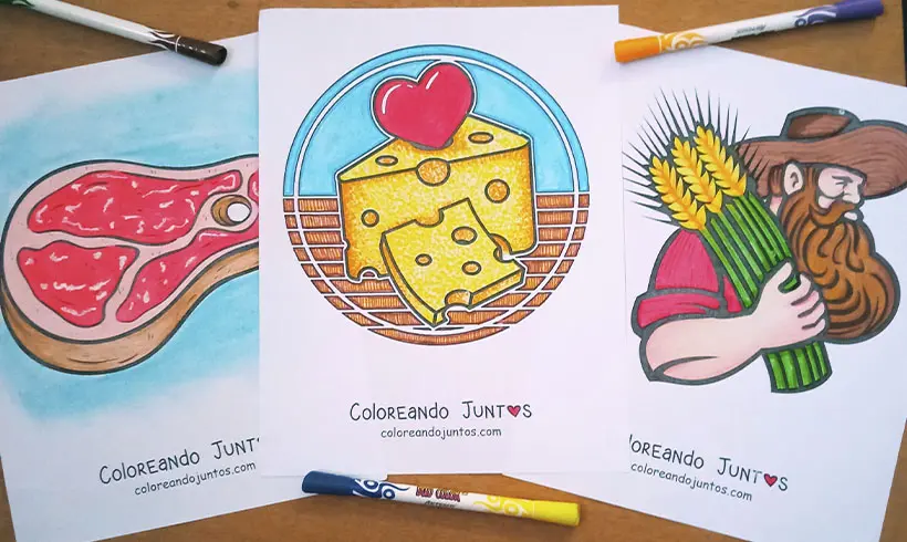
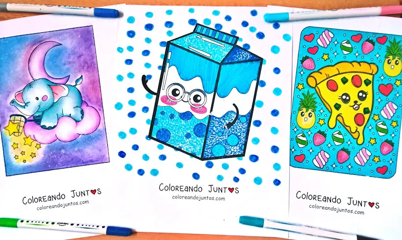
Food Coloring Pages
-
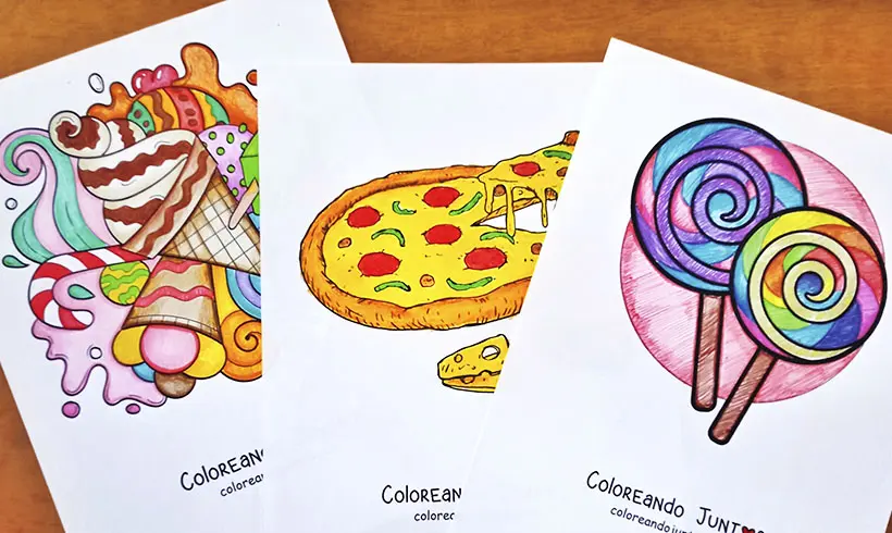
Food Coloring Pages
-
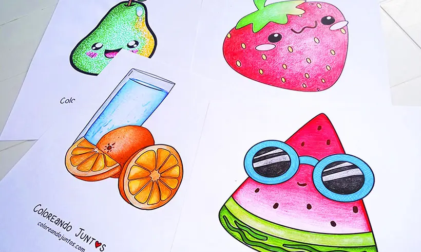
Fruit Coloring Pages
-
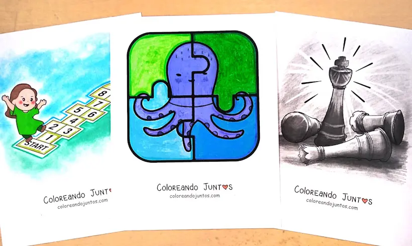
Games Coloring Pages
-
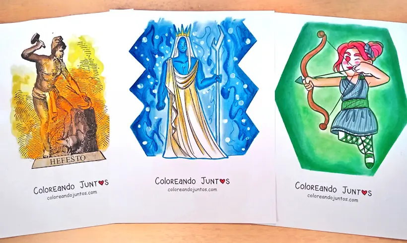
Greek Gods Coloring Pages
-
Greek Mythology Coloring Pages
-
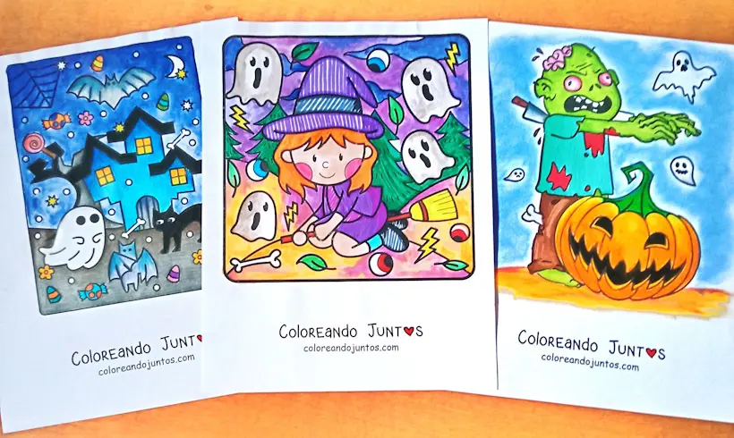
Halloween Coloring Pages
-

Historical Figures Coloring Pages
-
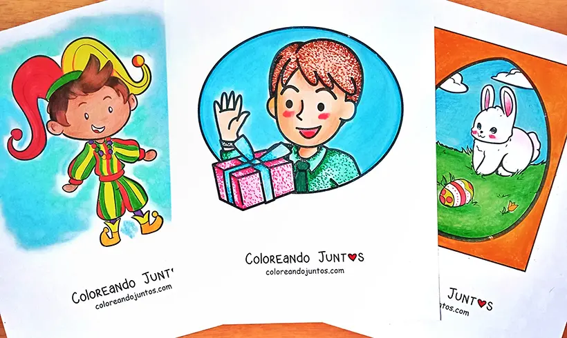
Holidays Coloring Pages
-
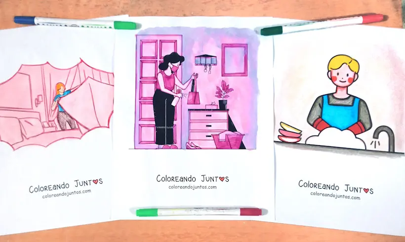
Household Chores Coloring Pages
-
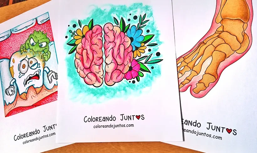
Human Body Coloring Pages
-
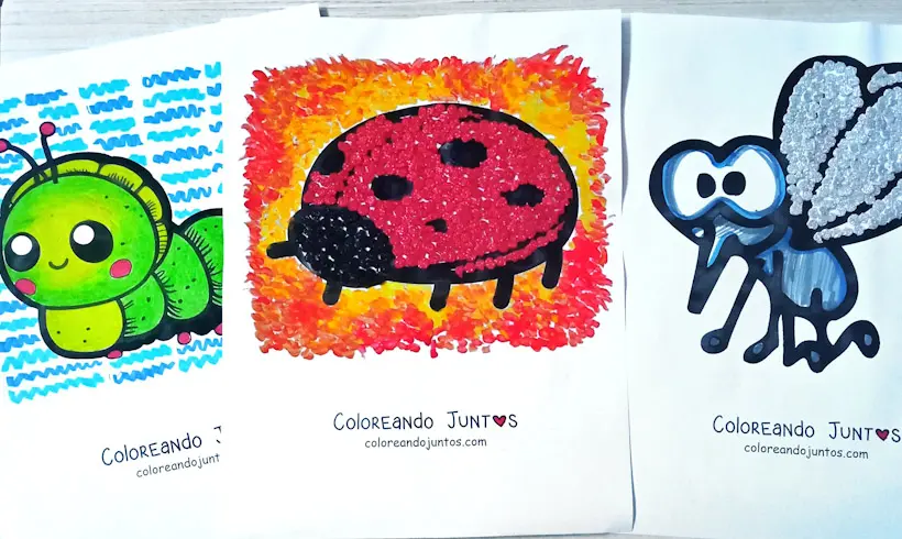
Insect Coloring Pages
-

Jewelry and accessories coloring pages
-
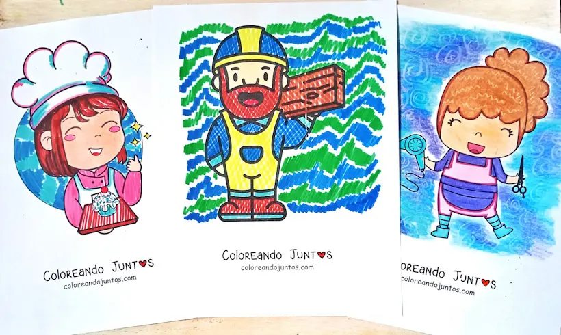
Jobs and Trades Coloring Pages
-
Kawaii Coloring Pages
-
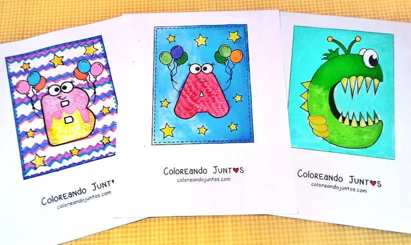
Letter Coloring Pages
-

Love and Friendship Coloring Pages
-
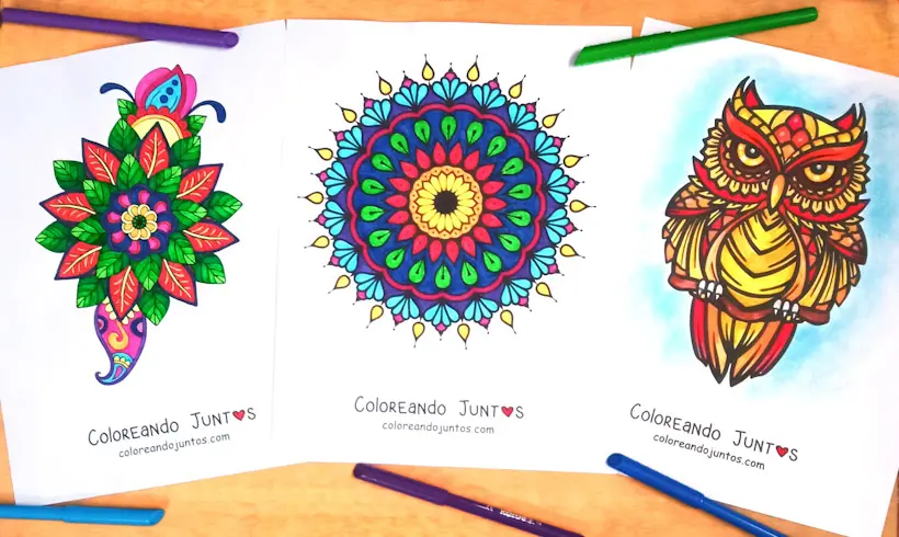
Mandala Coloring Pages
-
Map Coloring Pages
-
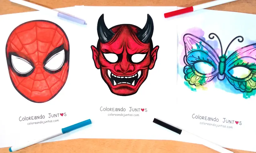
Mask Coloring Pages
-
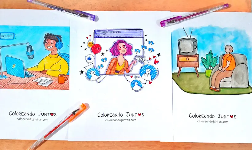
Media Coloring Pages
-

Months of the Year Coloring Pages
-
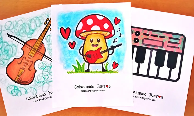
Musical Instruments Coloring Pages
-
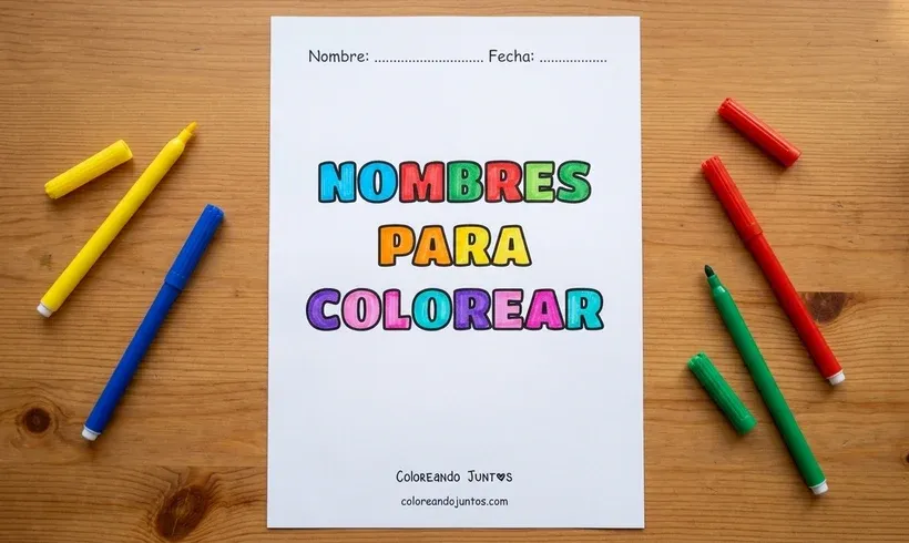
Name coloring pages
-
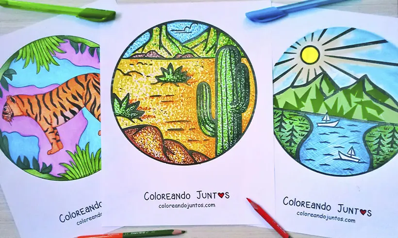
Nature Coloring Pages
-
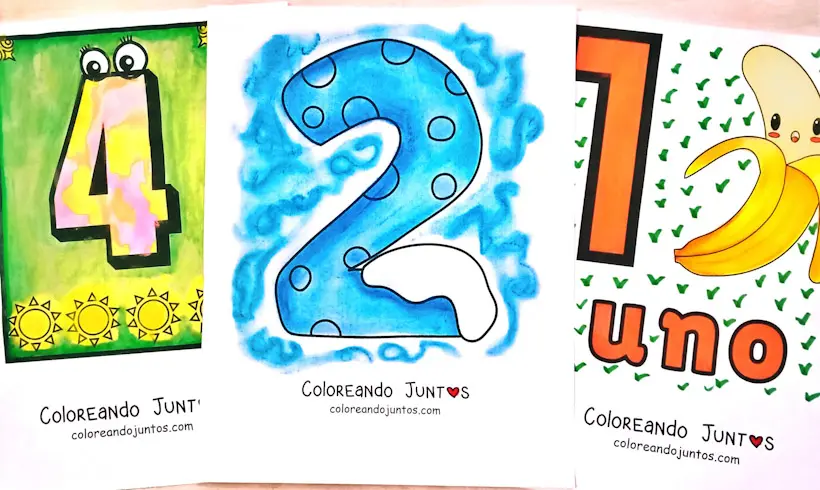
Number Coloring Pages
-
Object Coloring Pages
-
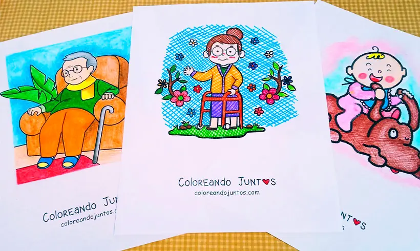
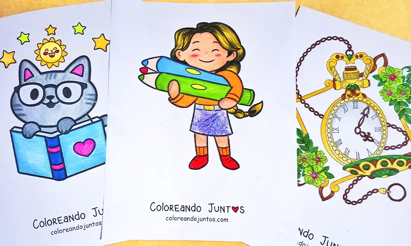
People Coloring Pages
-
Places Coloring Pages
-
Plants and Trees Coloring Pages
-
Profession Coloring Pages
-
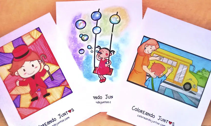
Recreational Activities Coloring Pages
-
Science Coloring Pages
-
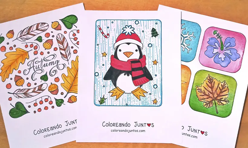
Seasons Coloring Pages
-
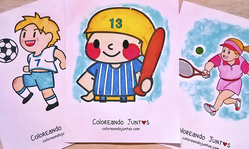
Sports Coloring Pages
-
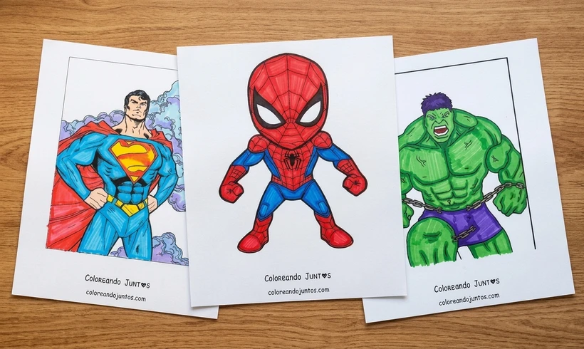
Superhero Coloring Pages
-
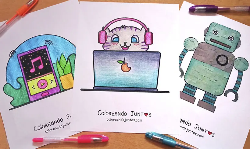
Technology Coloring Pages
-
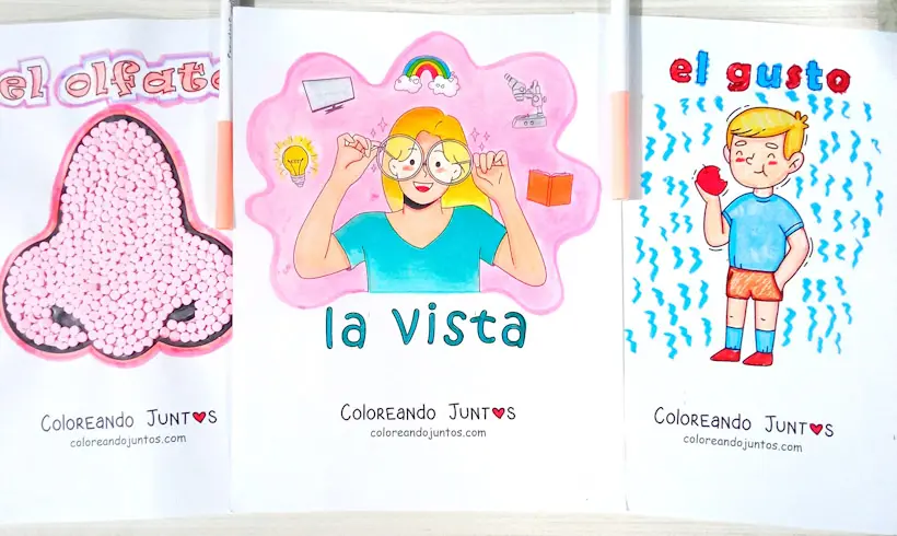
Drawings of the 5 Senses
-
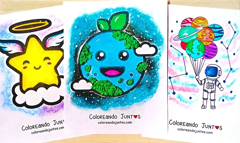
Universe Coloring Pages
-
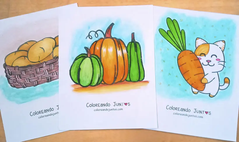
Vegetable Coloring Pages
-
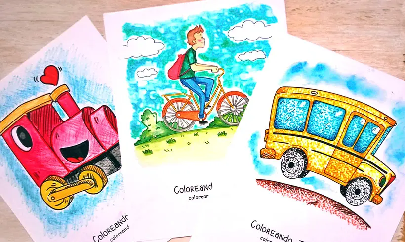
Vehicle Coloring Pages
-
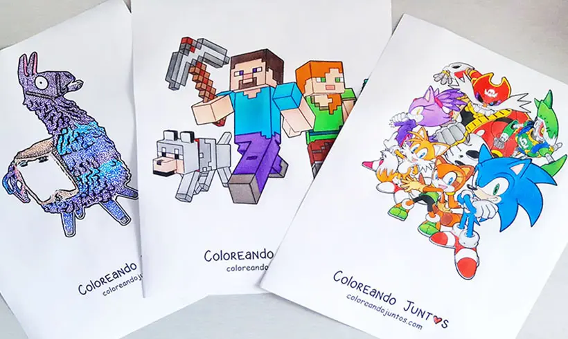
Video Game Coloring Pages
-
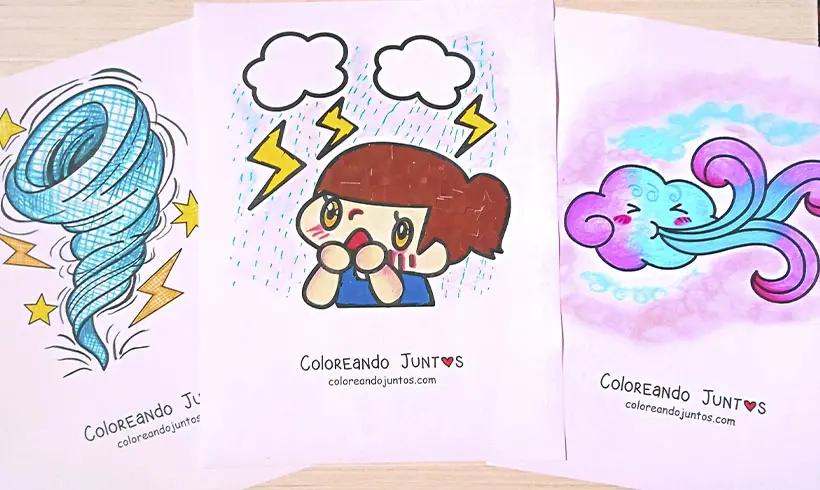
Weather Coloring Pages
-
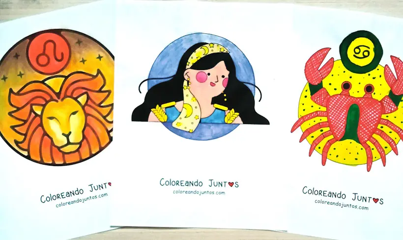
Zodiac Signs Coloring Pages