25 Coloring Pages of Maps of Countries of the Americas - Free!
Maps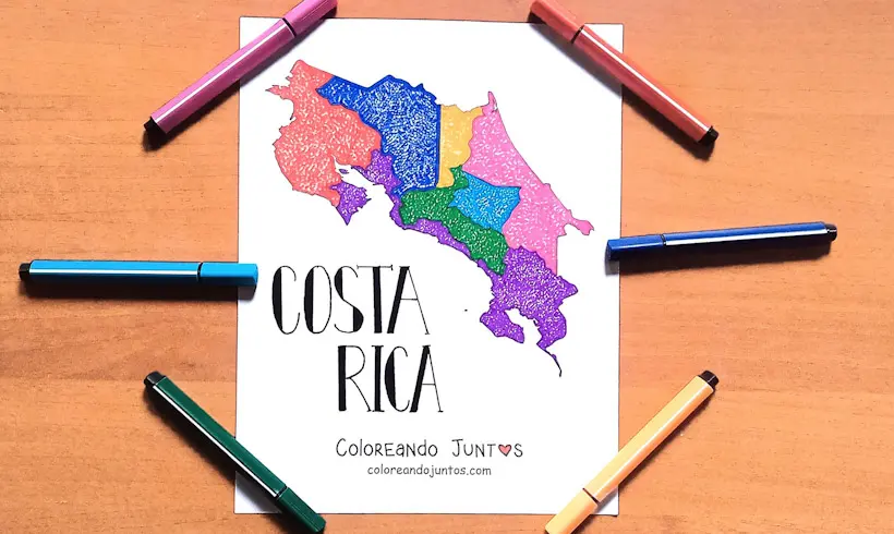
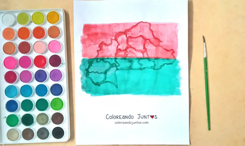
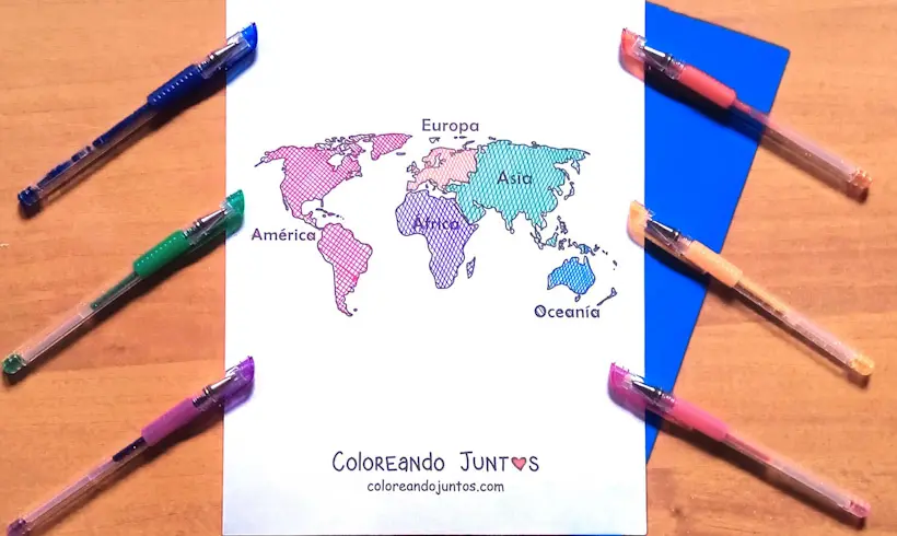
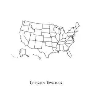
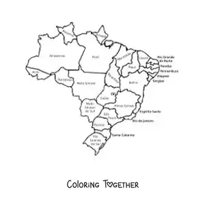
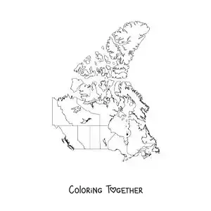
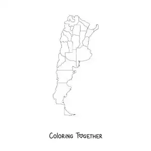
On our trip through each country of the Americas, we've taken the chance to color this map of the countries of the Americas. Do you like it? We're sure your drawing will turn out much better. We can't wait to see it!
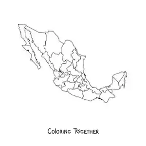
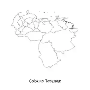
On this website we've searched all over the Americas for the best pictures of maps of the countries of the Americas to color, maps of the countries of the Americas with names, and maps of the countries with names. We can't wait to see your finished work!
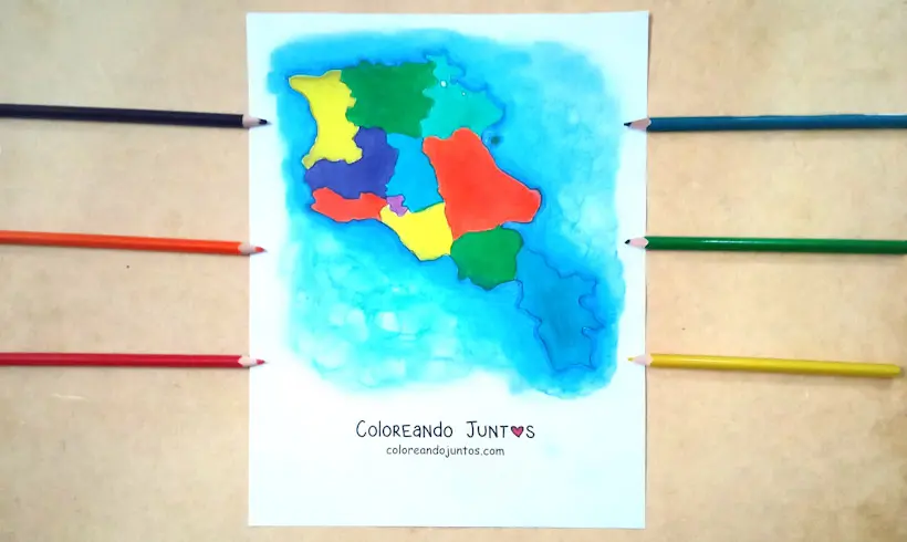
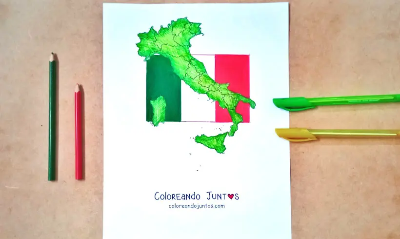
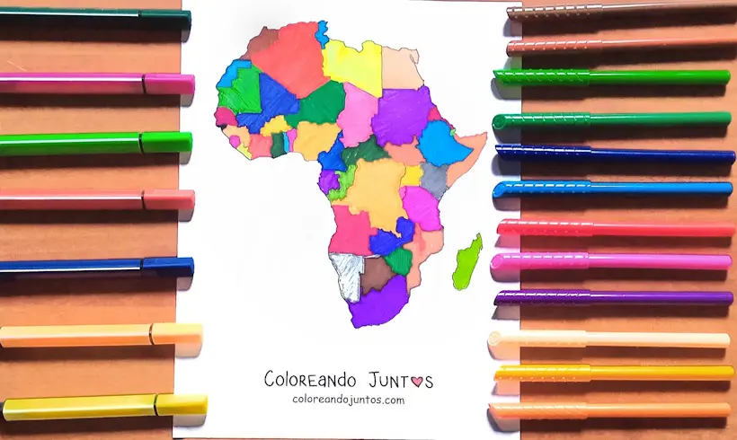
To bring these very special countries to life, first you'll have to choose the right materials. Your neon colored pens want to come along with you on this great trip. You can surely use them in a way that surprises everyone. Remember that you can also pair your drawings with watercolor and a nice blend.
For your talent to be known beyond your borders, you just have to do one thing: send us a photo! At Coloring Together we like to publish the finished drawings of our followers. That way, we can inspire other little ones to follow their dreams as artists.
Now then, ready to begin? Great! You'd better have your materials on hand, because these drawings of the countries of the Americas to color are already getting impatient. And there's no one better than you to bring those pale countries to life.
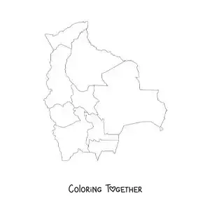
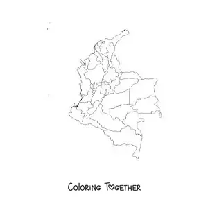
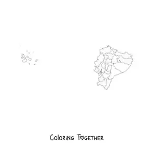
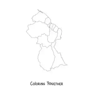
Maps of Countries of the Americas coloring pages
Why color maps of countries of the americas pictures?
When you want to make a travel plan through the countries of the Americas, maps will help you a lot in your task. Each one of the countries of the Americas is full of cultures and traditions that deserve to be appreciated by people beyond their borders.
At least once in life, it would be great to celebrate the Day of the Dead that is celebrated in Mexico, stroll along the illuminated beaches of Cartagena, Colombia, or visit the incredible Disneyland park in the United States.
At Coloring Together, we want you to reach all your adventures without getting lost. That's why we've collected the best pictures of the countries of the Americas to color, with which you'll be able to learn a little more about each country and cultivate your skills as an artist.
Besides that, above each one of the drawings of the countries of the Americas to color you'll find a little fun fact. That way you'll be able to learn new things while doing an activity you like. It's an incredible win-win! So go grab your materials, little artist. It's time to color!
Learn while coloring Maps of Countries of the Americas
- Canada is the largest country in the Americas, and its physical map stretches across a surface of 10 million square kilometers. Incredible!
- The smallest country in the Americas is Saint Kitts and Nevis. This nation is made up of two islands that peek out in the Atlantic Ocean and the Caribbean.
- Alaska is the largest state in the United States.
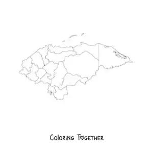
- In the country of Honduras it rains fish! That's right, as incredible as it may seem to you, in a small city located in the north of this country a phenomenon occurs in which, at least once a year, the streets flood with small silvery fish.
- The cuisine of the country of Mexico is considered a heritage of humanity.
- Colombia is a country that has wonderful beaches, but in Cartagena de Indias you can enjoy a glowing sea. That's right! During the nights, thanks to the glowing plankton, the water turns a bright blue that makes it a magical place.
- The oldest maps on record come from ancient Mesopotamia, made on tablets about 5,000 years ago.
- Diego Ribero was the one who created the first scientific map using perfect latitudes in 1527.
- The map of Eratosthenes was the first to establish a coordinate system; it divides the Earth into sections called sphragides.
- Colombia is the second largest coffee producing country.