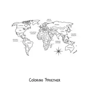
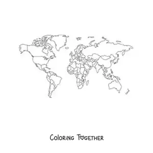
10 World Map Coloring Pages - Free!
Maps
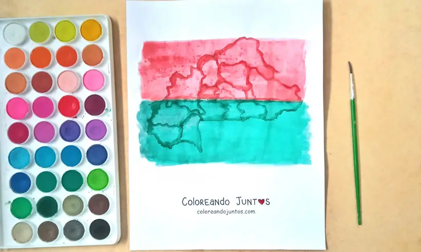
At Coloring Together there is a very special promotion going on. Do you want to know what this great offer is about? A trip around the world! And the best part of all is that you can travel for free to any country from the comfort of your home. Did you already see the drawing we colored along the way? Yours will surely turn out even better!
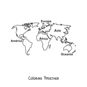
With the world map images to color you can live the experience of visiting and getting to know each of the 194 countries that make up this incredible planet. There are so many countries with such different cultures, languages, food, and wildlife that it would be very hard to get to know them all.
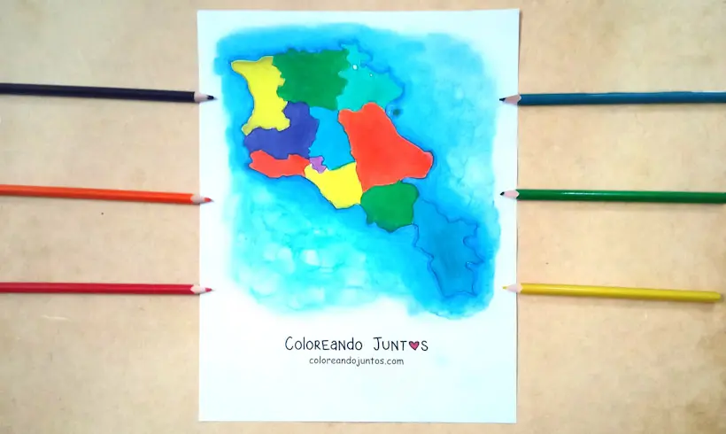
The world map drawings to color give you the chance to use those wax crayons you love so much. Remember to color in circles to achieve better effects. It will look great! You can also use your pastel chalks to create beautiful backgrounds.
Do you want your drawings to travel all over the world map? Then you only have to do one thing: send us a photo! On our website we always have a space for the little artists who want the world to witness their talent. Do not miss this great opportunity!
Now then, grab your materials and let your love for art take control of the world map drawings to color. We cannot wait to see your finished work! The world deserves to be surprised by your great skills as an artist.
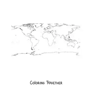
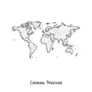
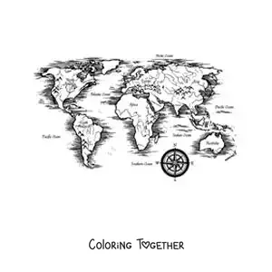
World Maps coloring pages

Why color world maps pictures?
The world map, also known as a planisphere, is a cartographic representation of the earth's surface. Since ancient times, humans have tried to represent the world around them. Because of this, we can find different maps that show how the Earth was perceived at each moment in time.
The world map we know today is based on the Mercator projection, a cartographer who created this map in 1569 to make ship navigation easier. This is why the regions closest to the equator look much smaller than they really are.
At Coloring Together we love to motivate your creativity and your knowledge so you can locate where that continent you so want to explore is. That is why the world map images to color will help you locate the destination of your next trip.
Besides that, above each of the world map drawings to color you will find a little fun fact that will make you appreciate the importance of maps. We would be lost without them! So you had better start adding color to your world map so you do not lose your way, little artist. It is time to color!
Learn while coloring World Maps
- The first world map is attributed to Anaximander of Miletus, a sage from ancient Greece.
- One of the largest and most detailed world maps of the Renaissance was made by the cartographer Urbano Monte in 1587. Assembled from its many sheets, it measured about 3 meters wide and stood out for its detail.
- The world map is made up of 194 countries.
- The world map we know today is a variant of the Mercator map, who created this map in 1569 to make ship navigation easier.
- The Waldseemüller map of 1507 was the first world map where the name "America" appeared to refer to the new continent discovered by the Spanish in 1492.
- Although it is not the usual case, some maps of Australia and New Zealand are "upside down," meaning they place north at the bottom and south at the top.
- On most world maps from China, the Pacific Ocean is located in the center. That way the country is placed in the most central position.
- The world map most of us know has the dimensions of the countries somewhat distorted. This is because, at the time, it was easier for navigators to chart their course in a straight line.
- The most expensive map in history has been the Waldseemüller map, which sold for 10 million dollars in 2003 and is currently held by the Library of Congress of the United States.
- On the world map, the places closest to the poles look much larger than they really are, while those near the equator look almost their real size.