45 African Country Map Coloring Pages - Free!
Maps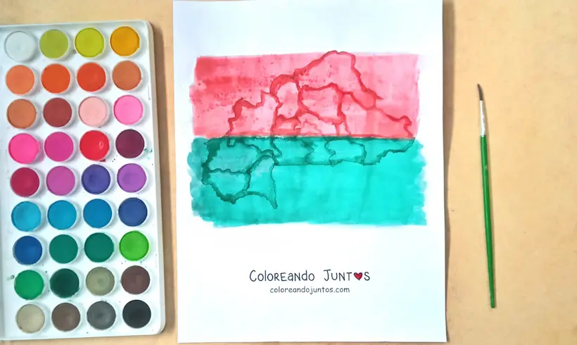
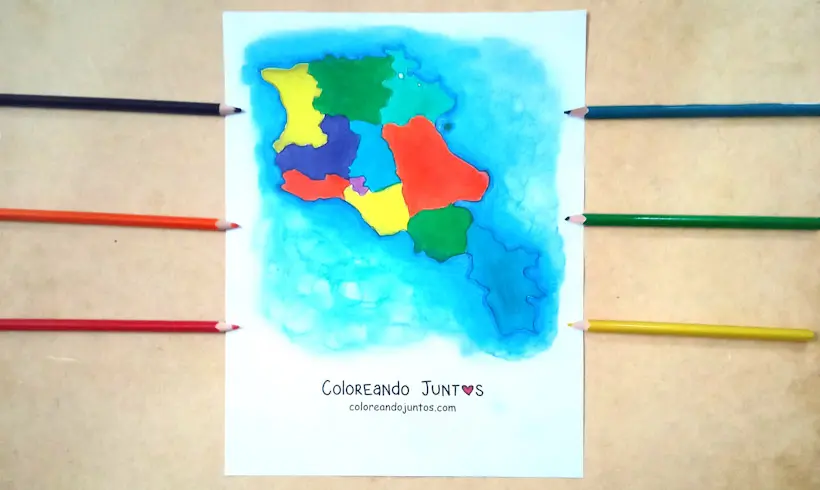
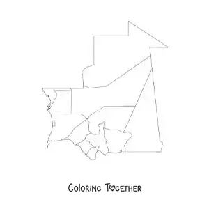
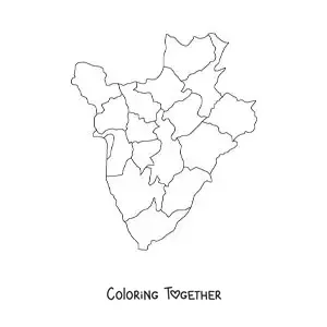
Do you like how we colored this map? It is of Burkina Faso, one of the countries that make up the continent of Africa, did you know that? In this section we focus on the diversity of countries that make up the African continent.
Come color at Coloring Together! In our gallery we gathered incredible African country map drawings to color, with them you can have fun and learn a lot about one of the most interesting continents of all.
We want to invite you to stop by the gallery, choose some of the African country drawings we gathered in one place. If you want African country map drawings for kids, we have those too! Or do you prefer African country map images? That and much more you will find in our gallery!
If you have any trouble with how to color the drawings, then we will gladly give you some ideas. You can paint your drawings with cotton swabs or Q-tips; with them you will achieve beautiful patterns and textures.
Do not be afraid to get your hands dirty! Painting and coloring is a fun activity with many benefits; if you give it a try you will not regret it. Send us a photo of your art and we will gladly display it in the gallery!
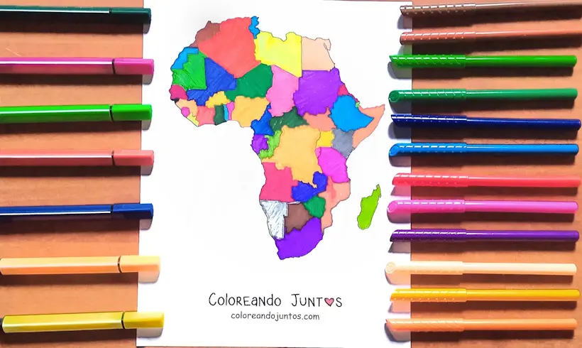
Are you afraid of heights? Because we are about to fly over the African continent in search of the best African country map images to color. We are sure it will be an unmatched adventure!
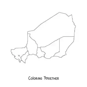
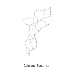
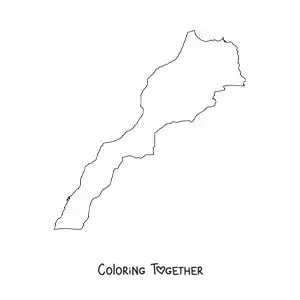
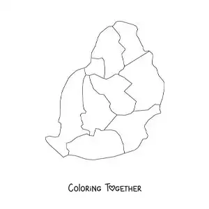
African Country Maps coloring pages
Why color african country maps pictures?
Would you like to visit the African continent at some point? It is much more interesting than you think! Come, at Coloring Together we will tell you a couple of things about the African countries that you did not know.
Most African countries have great cultural wealth, a variety of amazing traditions and customs. It is the second largest continent in the world, and it has a population of more than 1.3 billion people. That is a whole lot!
In Africa there are around 54 countries, and each of them with its own culture and language. Imagine the diversity of languages that exist in just one place, do you not think it is incredible? That is why we want to tell you more about these countries in the African country map images to color.
In them you will find fun facts about the African countries, so that while you paint, you will be able to learn much more than you think about this topic. Are you not excited? Because we are. Let's paint!
Learn while coloring African Country Maps
- In Africa lives around 18% of the entire world's population, more than one billion four hundred million people! Incredible!
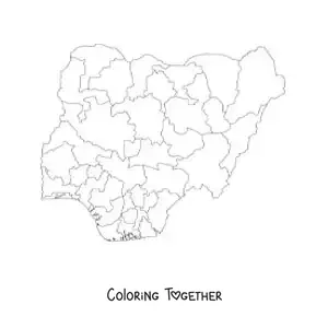
- In Nigeria the population is divided almost in half: around 50% are Muslims and about 45% Christians. So much diversity!
- The economy of Africa represents only 3% of the world's total economy.
- A total of 43% of the world's out-of-school children are African.
- Nigeria is the most populous country in Africa, with more than 200 million inhabitants.
- One of the hottest places on the planet is in Africa: the Danakil Desert, in Ethiopia, where extreme temperatures are recorded all year round. So hot!
- In Africa there are more than 3,000 ethnic groups living on the continent.
- In Nigeria more than 500 indigenous languages are spoken. So much diversity!
- Africa is the continent with the highest birth rate in the world. It is estimated that the average for each woman is 6 children.
- In Africa there are 9 sand deserts, like the Sahara or the Kalahari Desert.
- Although more than 500 indigenous languages are spoken in Nigeria, the official language is English.
- Nigeria is the largest producer of oil in Africa, and it is the tenth in the world. Incredible!
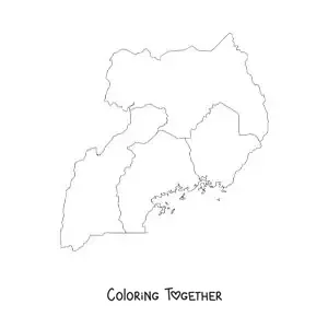
- Bwindi National Park in Uganda is one of only two places in the world where you can find mountain gorillas. Incredible!
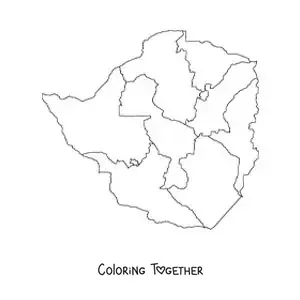
- In Zimbabwe is the citadel of Great Zimbabwe, which is one of the largest stone structures in Africa.
- Do you know which is the largest river in Africa? It is the Nile River, and it passes through 10 African countries.
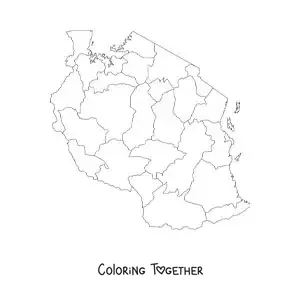
- The tallest mountain in Africa is Kilimanjaro, in Tanzania, with a height of 5,895 meters.
- Africa is the third largest continent in the world, after Asia and America.
- In Morocco is the famous city of Marrakech, known for the Djemaa el Fna square, and for its maze of street markets.
- In South Africa is the Addo Elephant National Park, home to one of the largest populations of African elephants in the world. There are hundreds of them!
- Do you know which is the most dangerous animal on the African continent? It is the hippopotamus!
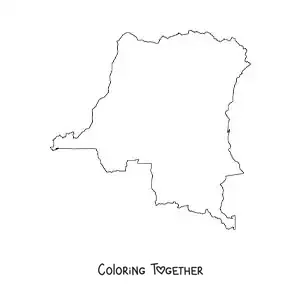
- In terms of land area, the Democratic Republic of the Congo is the second largest country in Africa, with 2,344,858 km².
- Do you know what the name "Africa" means? It means "without cold."
- In Africa around 1,500 different languages are spoken. Amazing!
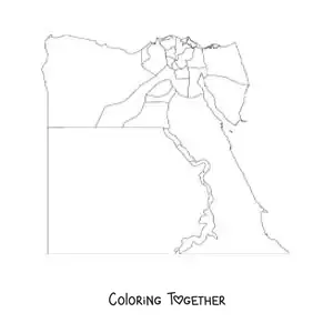
- Egypt connects the northeast of Africa with the Middle East, and it is the country that has more than 100 pyramids built during the time of Ancient Egypt.
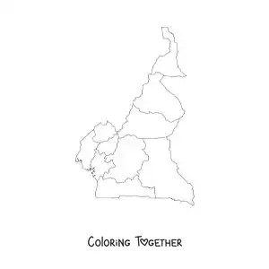
- Mount Cameroon, located in Cameroon, is one of the tallest active volcanoes in Africa, with an altitude of 4,095 meters above sea level.
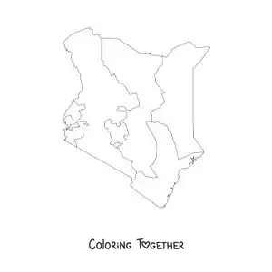
- In Kenya is one of the largest refugee camps in the world, the Dadaab camp.
- The richest country in Africa is Equatorial Guinea, and even so, two thirds of its population live in extreme poverty.
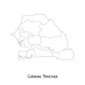
- In Senegal is a popular lake known as Lake Retba, or the Pink Lake, because its waters turn that color during the dry season.
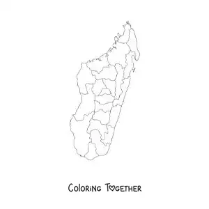
- The Island of Madagascar, in Africa, is home to most of the lemur species in the world.
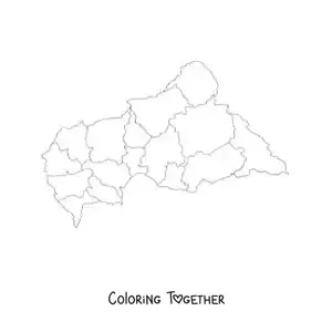
- The Central African Republic is one of the poorest countries in Africa and in the world.