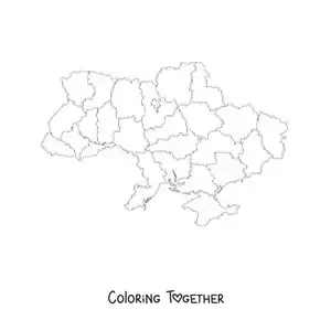
Political map of Estonia
Coloring page of a political map of Estonia
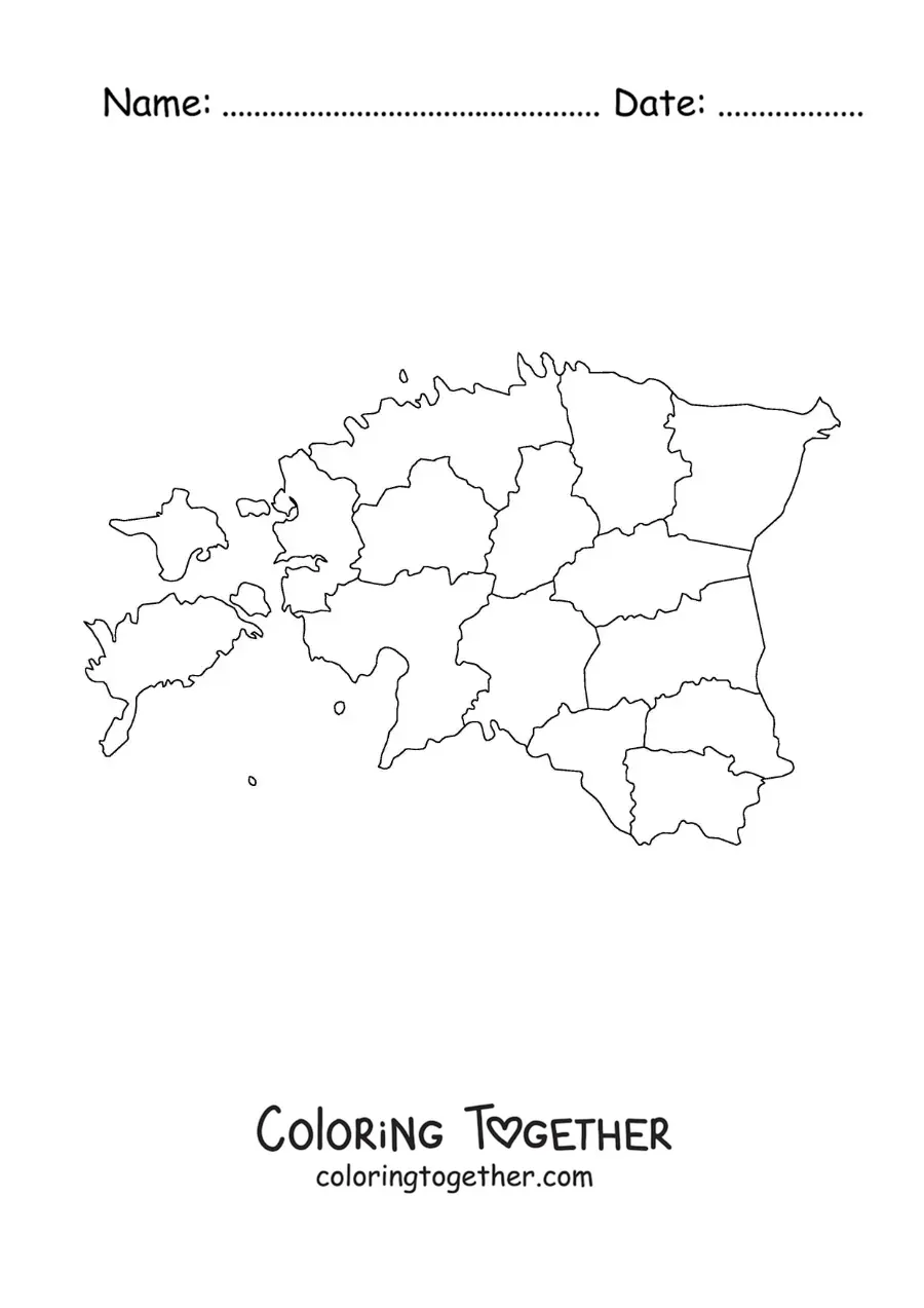
Downloads as an A4 PDF, ready to print and color.
Did you know?
Europe is home to the largest island in the whole world, and that is Greenland. Did you know that 84% of its surface is covered in ice? And even though it sits on the American continent, politically it is part of Europe.
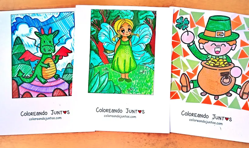
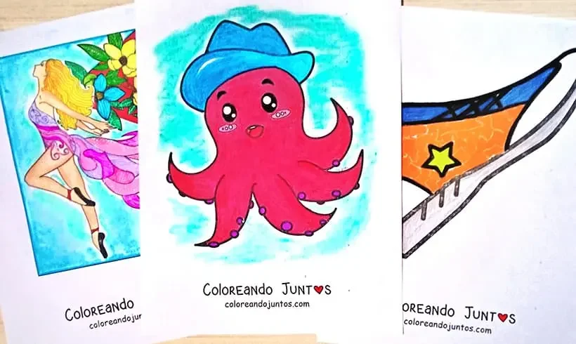
More coloring pages
Coloring Page Collections
-
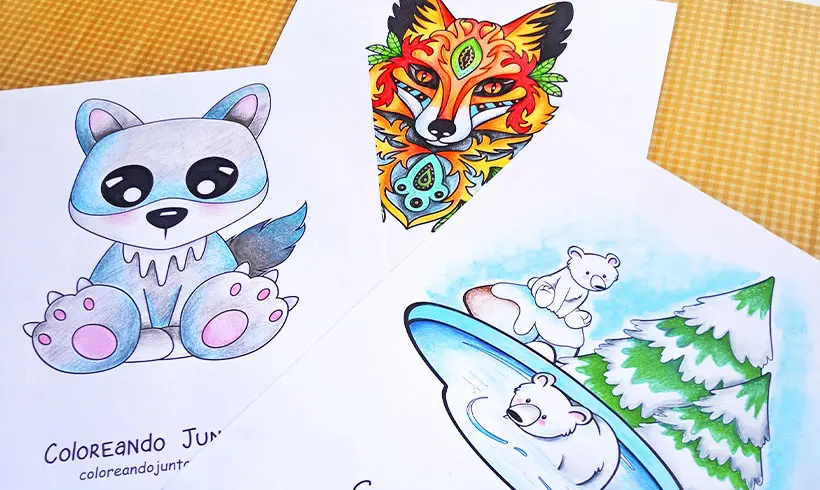
Animal Coloring Pages
-
Anime and Manga Coloring Pages
-
Building Coloring Pages
-
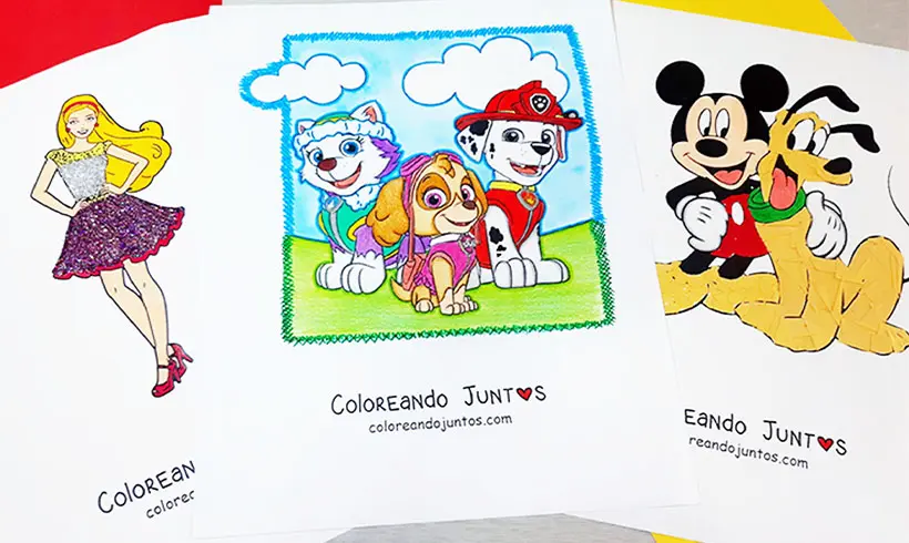
Cartoon Coloring Pages
-
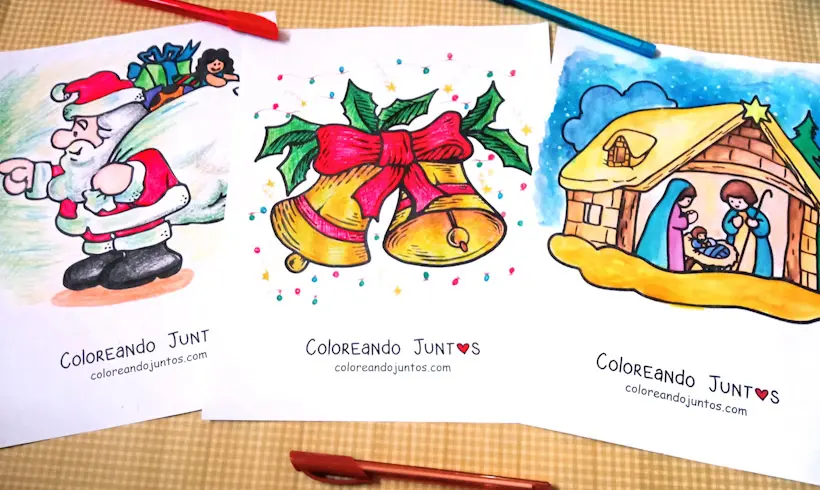
Christmas Coloring Pages
-

Countries and Cultures Coloring Pages
-
Daily Routines Coloring Pages
-
Days of the Week Coloring Pages
-
Dinosaurs Coloring Pages
-
Emoji Coloring Pages
-
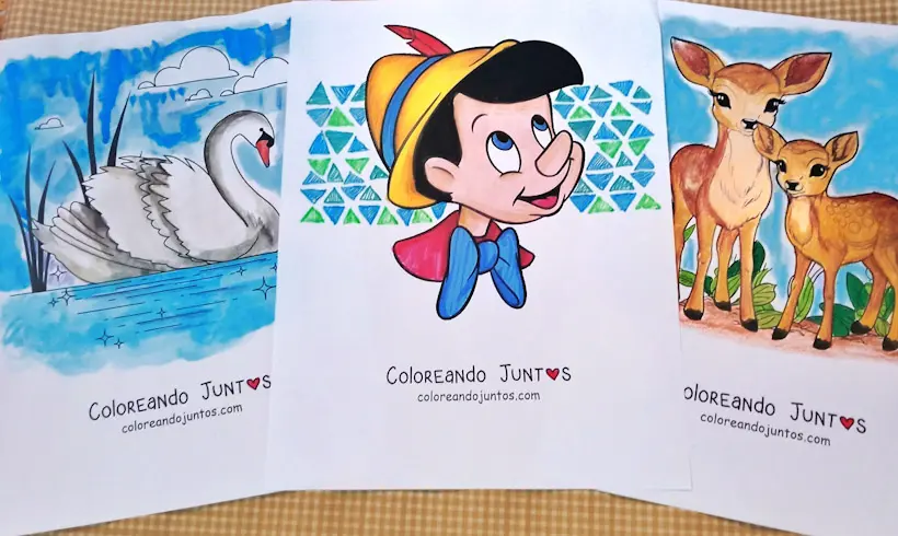
Fairy Tale Coloring Pages
-
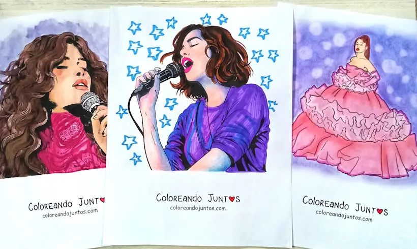
Famous Musicians and Singers Coloring Pages
-
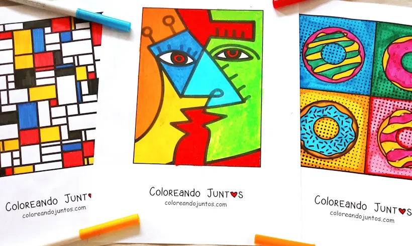
Famous Painters Coloring Pages
-

Famous Scientists and Inventors Coloring Pages
-
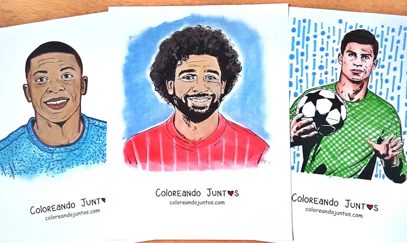
Famous Soccer Players Coloring Pages
-
Fantasy Coloring Pages
-
Fashion Coloring Pages
-
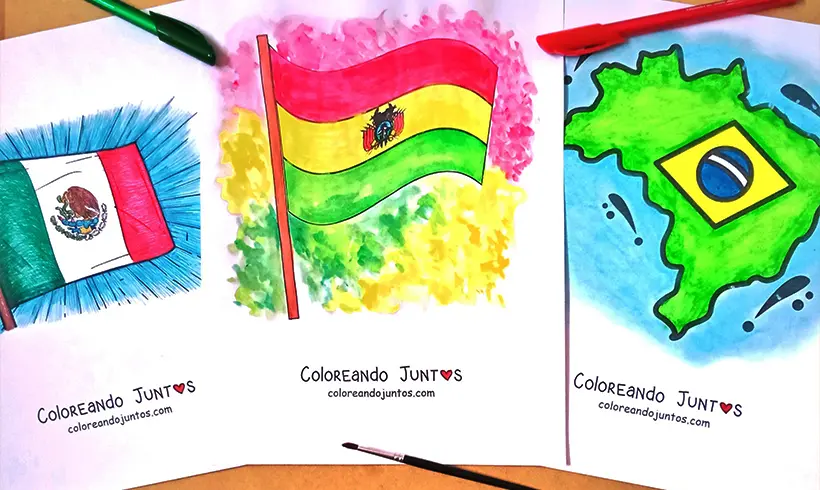
Flag Coloring Pages
-
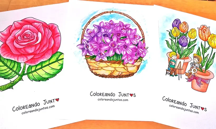
Flower Coloring Pages
-
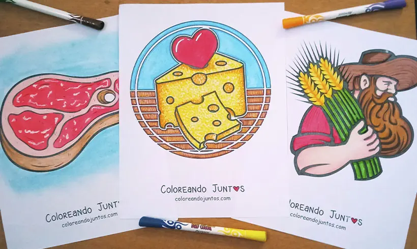
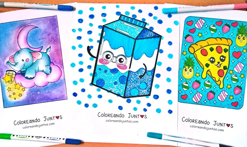
Food Coloring Pages
-
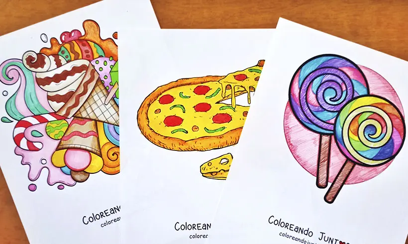
Food Coloring Pages
-
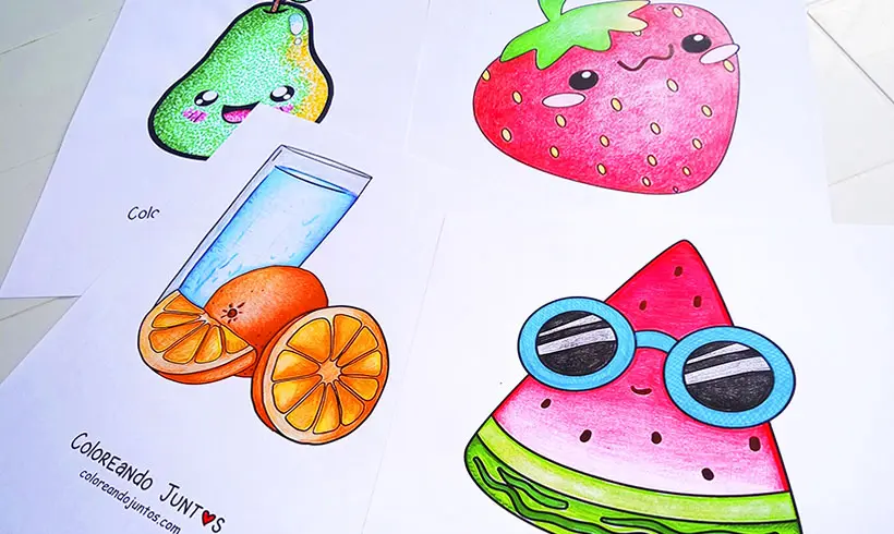
Fruit Coloring Pages
-
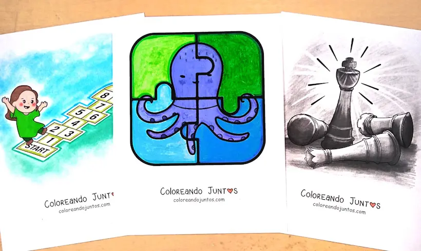
Games Coloring Pages
-
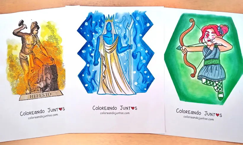
Greek Gods Coloring Pages
-
Greek Mythology Coloring Pages
-
Halloween Coloring Pages
-
Historical Figures Coloring Pages
-
Holidays Coloring Pages
-
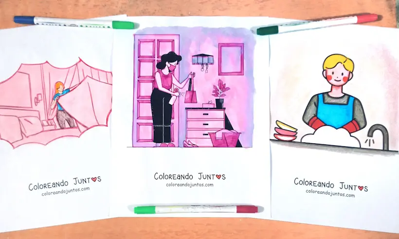
Household Chores Coloring Pages
-
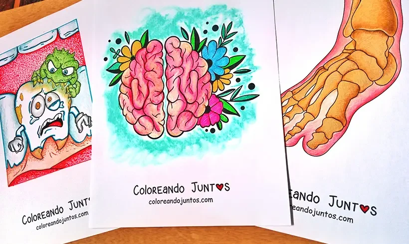
Human Body Coloring Pages
-
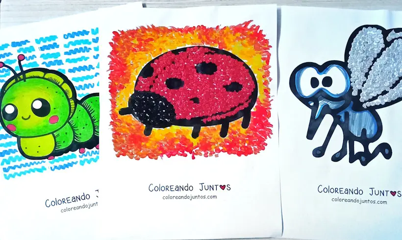
Insect Coloring Pages
-

Jewelry and accessories coloring pages
-
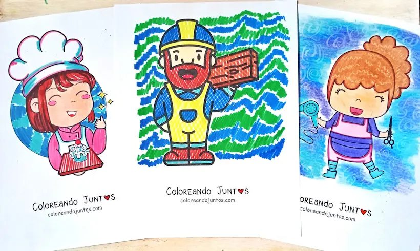
Jobs and Trades Coloring Pages
-
Kawaii Coloring Pages
-
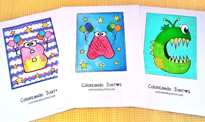
Letter Coloring Pages
-

Love and Friendship Coloring Pages
-
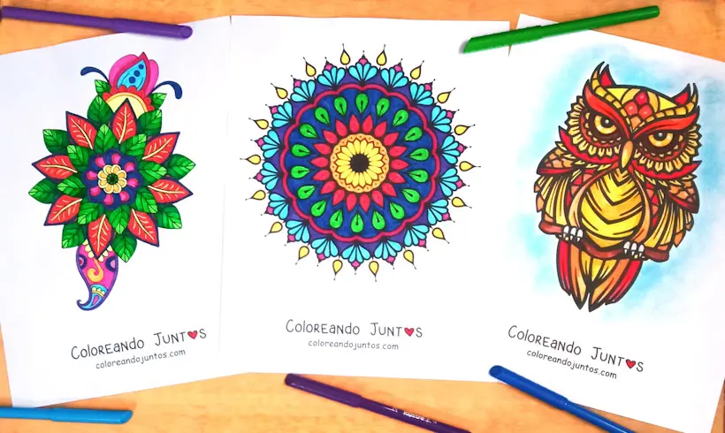
Mandala Coloring Pages
-
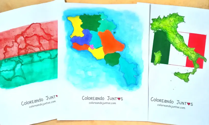
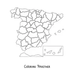
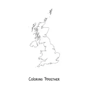
Map Coloring Pages
-
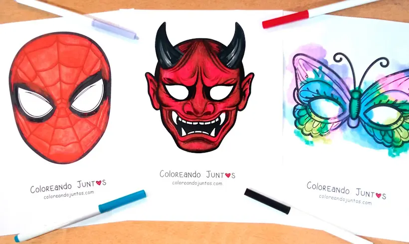
Mask Coloring Pages
-
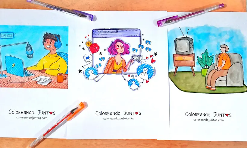
Media Coloring Pages
-

Months of the Year Coloring Pages
-
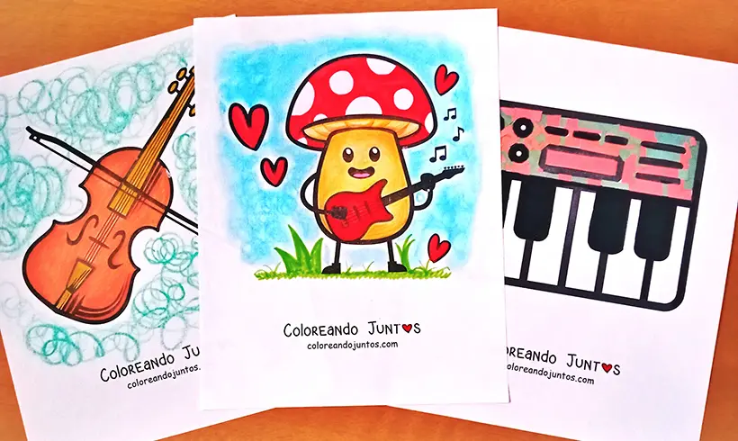
Musical Instruments Coloring Pages
-
Name coloring pages
-
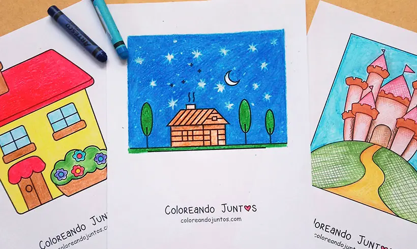
Nature Coloring Pages
-
Number Coloring Pages
-
Object Coloring Pages
-
People Coloring Pages
-
Places Coloring Pages
-
Plants and Trees Coloring Pages
-
Profession Coloring Pages
-
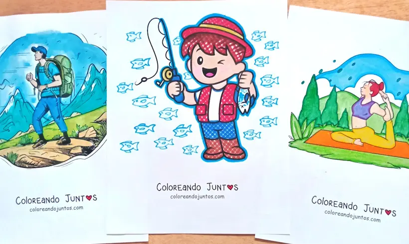
Recreational Activities Coloring Pages
-
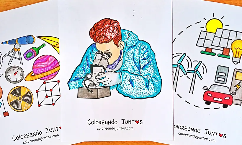
Science Coloring Pages
-
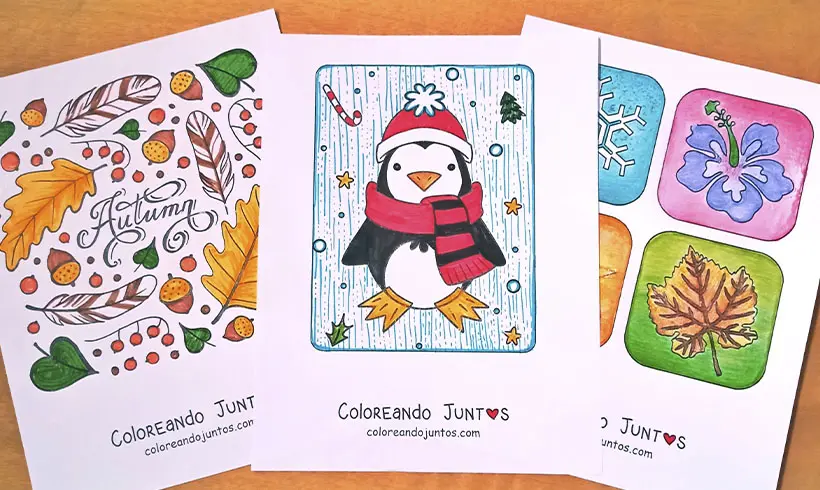
Seasons Coloring Pages
-
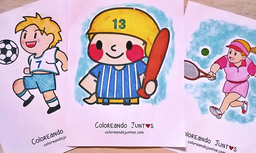
Sports Coloring Pages
-
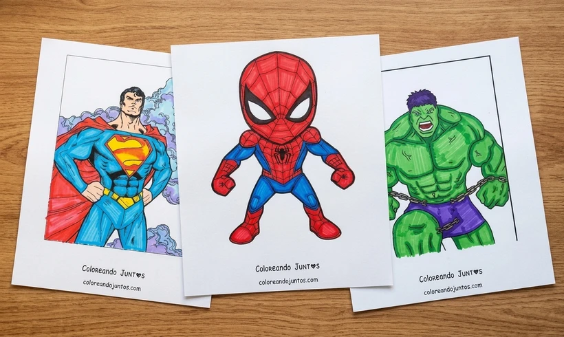
Superhero Coloring Pages
-
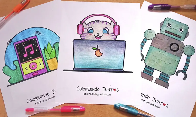
Technology Coloring Pages
-
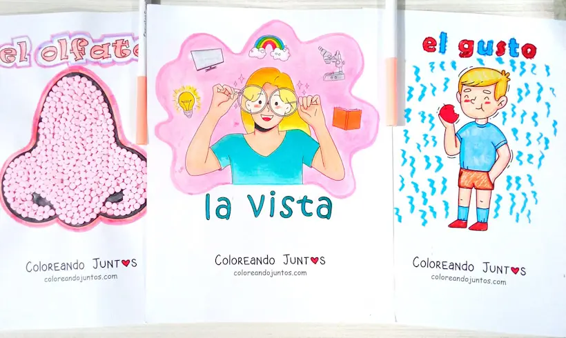
Drawings of the 5 Senses
-
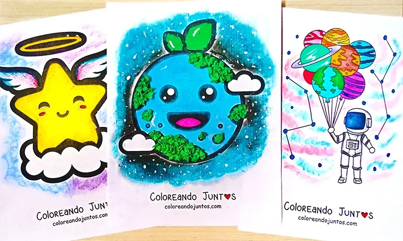
Universe Coloring Pages
-
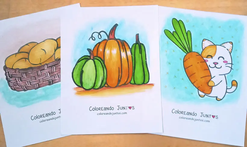
Vegetable Coloring Pages
-
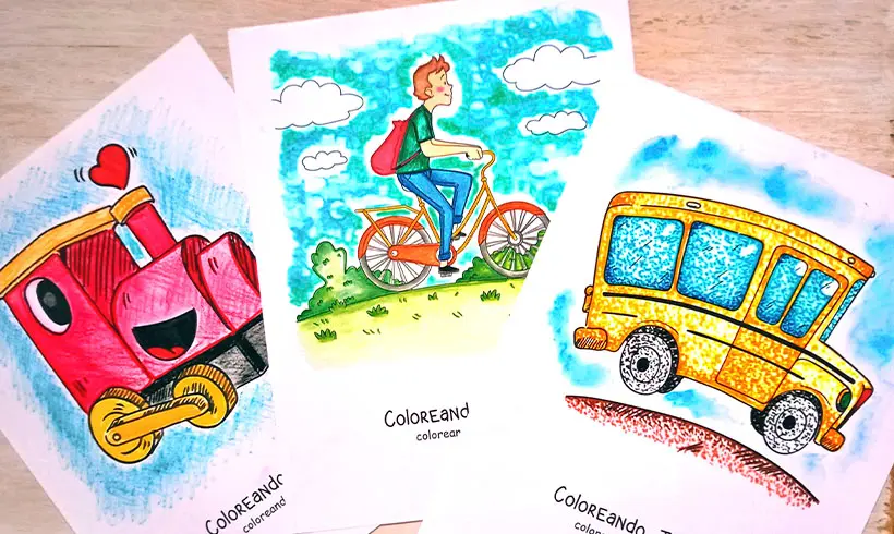
Vehicle Coloring Pages
-
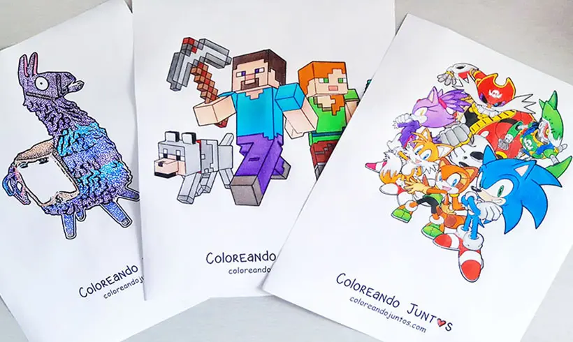
Video Game Coloring Pages
-
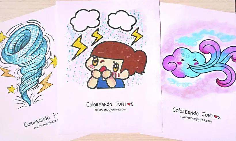
Weather Coloring Pages
-
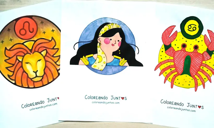
Zodiac Signs Coloring Pages